Bringing together geoinformation system, simulation software and data analysis tools for water utilities in an integrated, scalable and secure platform: This was the goal of the W-Net 4.0 research project. Novel service and training concepts have also been developed around the platform.
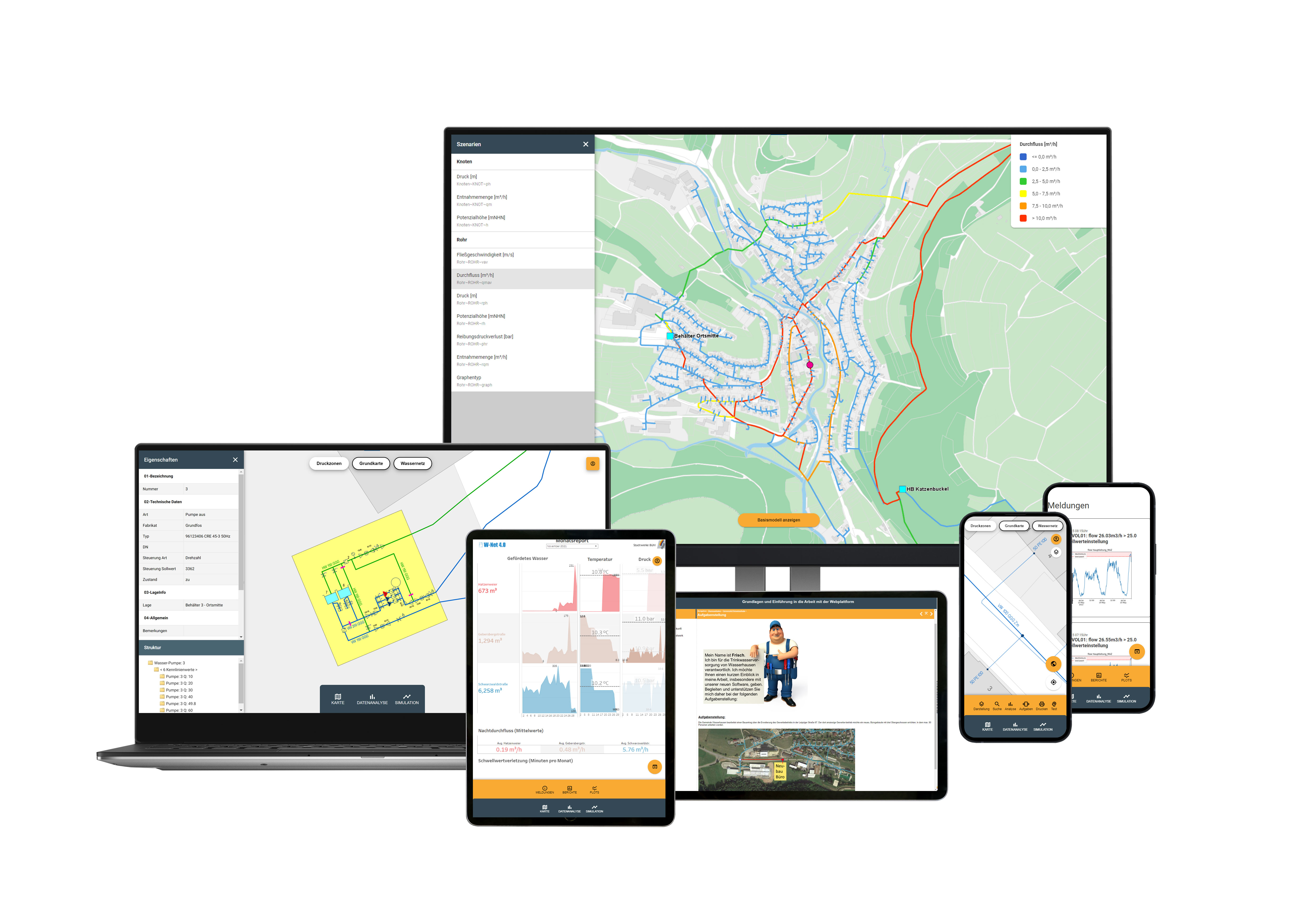
The result of the project W-Net 4.0 is an easy-to-use application that can also be used on smartphones and tablets. The complex structure of the system recedes completely into the background. The user concentrates solely on answering his or her questions. With just a few clicks, information can be found from the consumption statement on the consumers, volumes and filling of the water tanks, material, year of construction and condition of the pipelines. Even characteristic curves of the individual pumps are stored. In the portal area of the data analysis, the user receives an overview of the most important key figures of the plants and sensors in the form of monthly and annual reports. The user is notified of automated alarms - e. g. when flow rates exceed threshold values - by SMS or e-mail.
Effects of switching actions, such as the opening of a hydrant for fire water extraction or the closing of a network gate valve, can be calculated as scenarios in the simulation area and are immediately available to the user in graphical and tabular form.
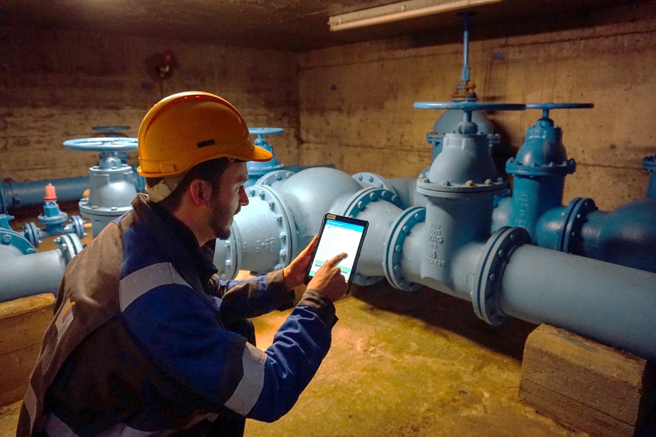
A central rights management system regulates the access of the various user groups. Data can be transmitted directly to the platform on site via app, e. g. for the documentation of maintenance and inspections. In the future, the platform will be operated centrally in a cloud as an all-round service offering.
The inventory data with complete pipeline network and error-free topology represent the indispensable prerequisite for the profitable use of the platform. The inventory data will be transferred to a new and uniform data model.
The platform was prototypically deployed at 4 small or medium-sized water utilities. Several data analysis use cases were investigated at “Berliner Wasserbetriebe”.

