Tropical and subtropical mining areas cause high sediment loads in receiving waters. Based on simulation models, technical concepts for sedimentation basins are optimized with regard to their location, volume and equipment.
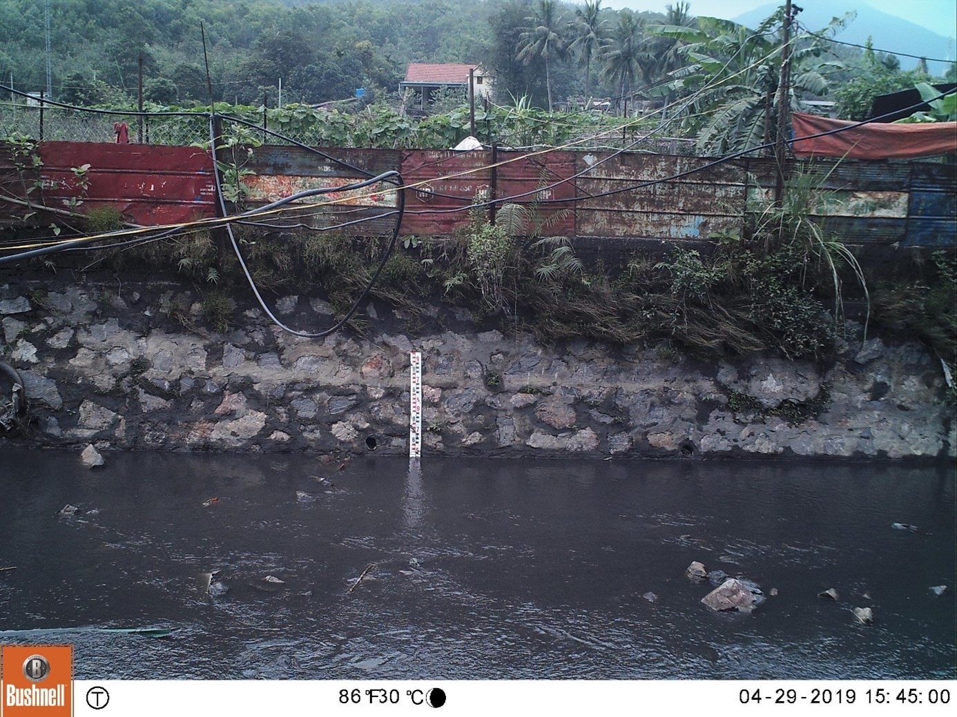
In addition to the mining wastewater, which is pumped and collected to mine water treatment plants, large quantities of surface runoff are generated in mining areas in tropical and subtropical regions. Depending on the nature of the surface, they contain high sediment loads that strongly affect the water quality in the receiving waters.
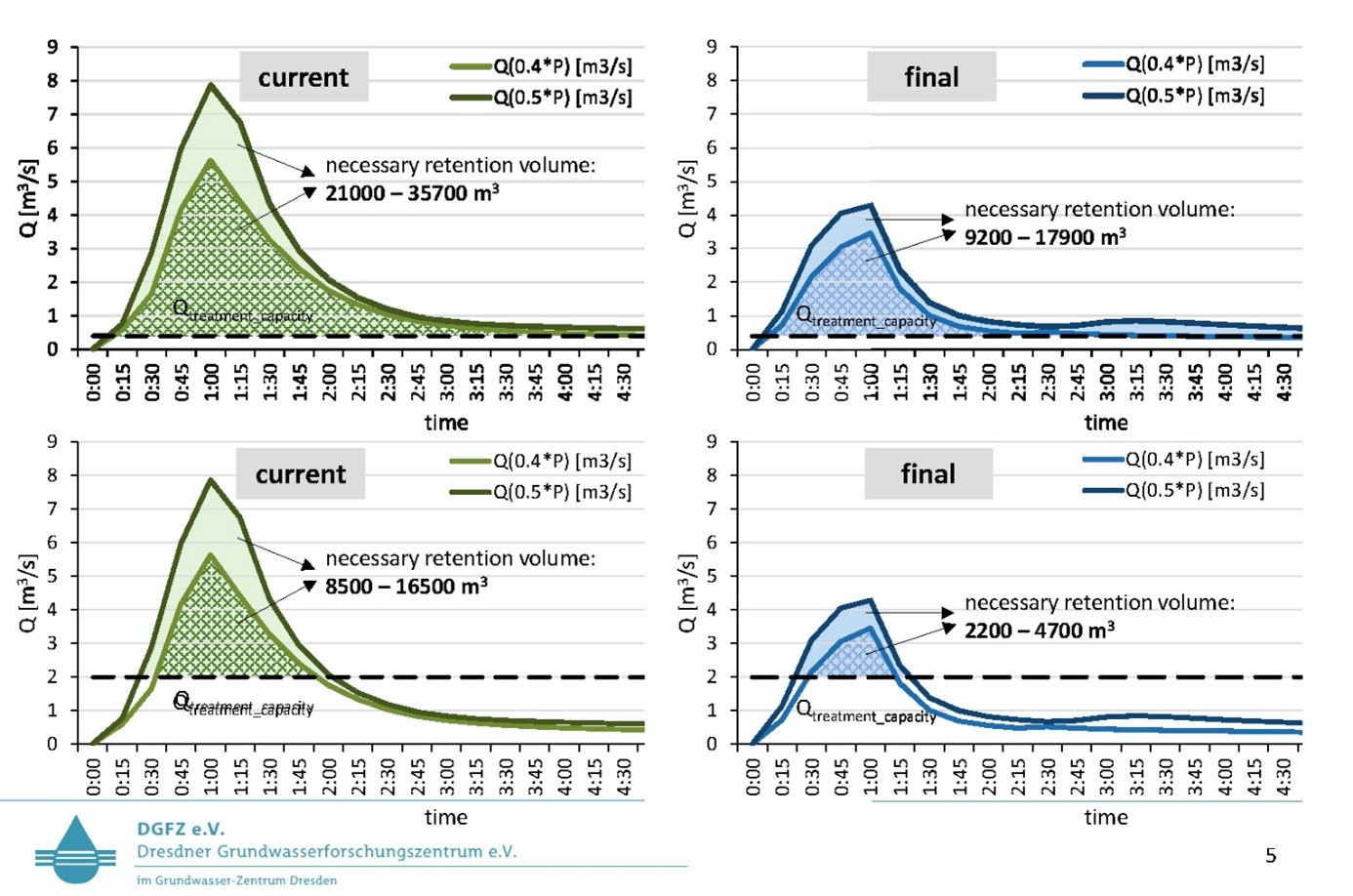
The developed simulation model, which was created with the software HEC-RAS, and the technical concept for sediment management includes rainfall-runoff modeling in connection with sediment transport modeling for mining areas and a site identification and simple technology for sediment retention based on this model using sedimentation basins with inclined lamella clarifiers. The in-situ and laboratory tests that are part of the developed concept enable the determination of the dimensioning of the sedimentation basins and inclined lamella clarifiers required for the desired degrees of purification.
The concept was applied exemplarily in a selected catchment area. Based on the results, suitable locations for sedimentation basins can be identified, minimum volumes for sedimentation basins can be determined depending on the treatment objective, or existing plans can be reviewed for their potential treatment effectiveness.
In addition to simulating the current state and reviewing suitable measures, the model can also be adapted to changes expected in the future. Thus, forecasts are also possible.