The modified Yuneec Typhoon H520 multicopter is used to collect data for aerial mosaics, flight videos, 3D terrain and surface models as well as for vegetation and algae indices. Water sampling and depth measurements are also possible.
The Yuneec Typhoon H520 multicopter has the Yuneec E90 camera, with a resolution of 20 MP, a focal length of 23 mm and video quality in 4K resolution.
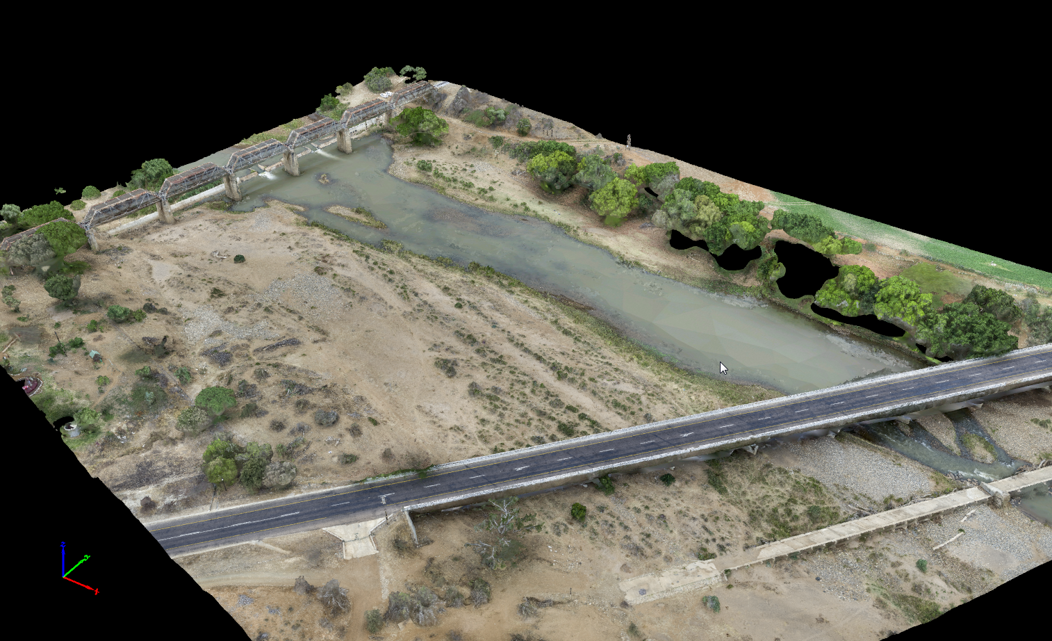
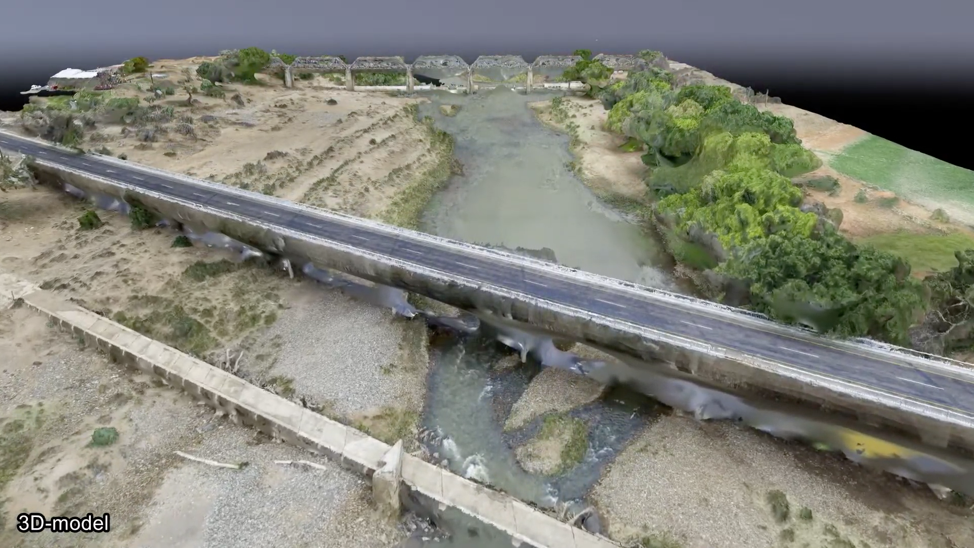
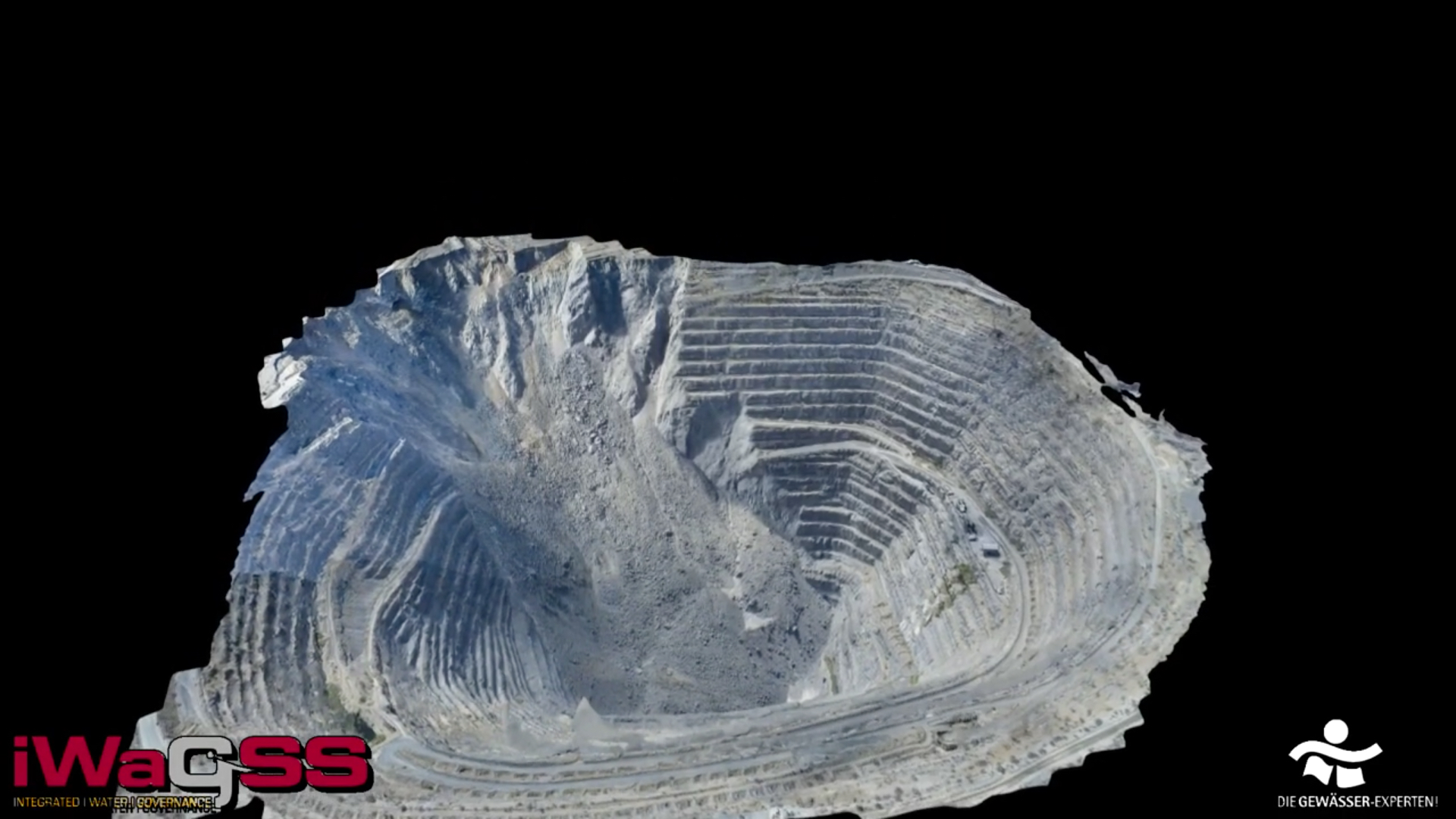
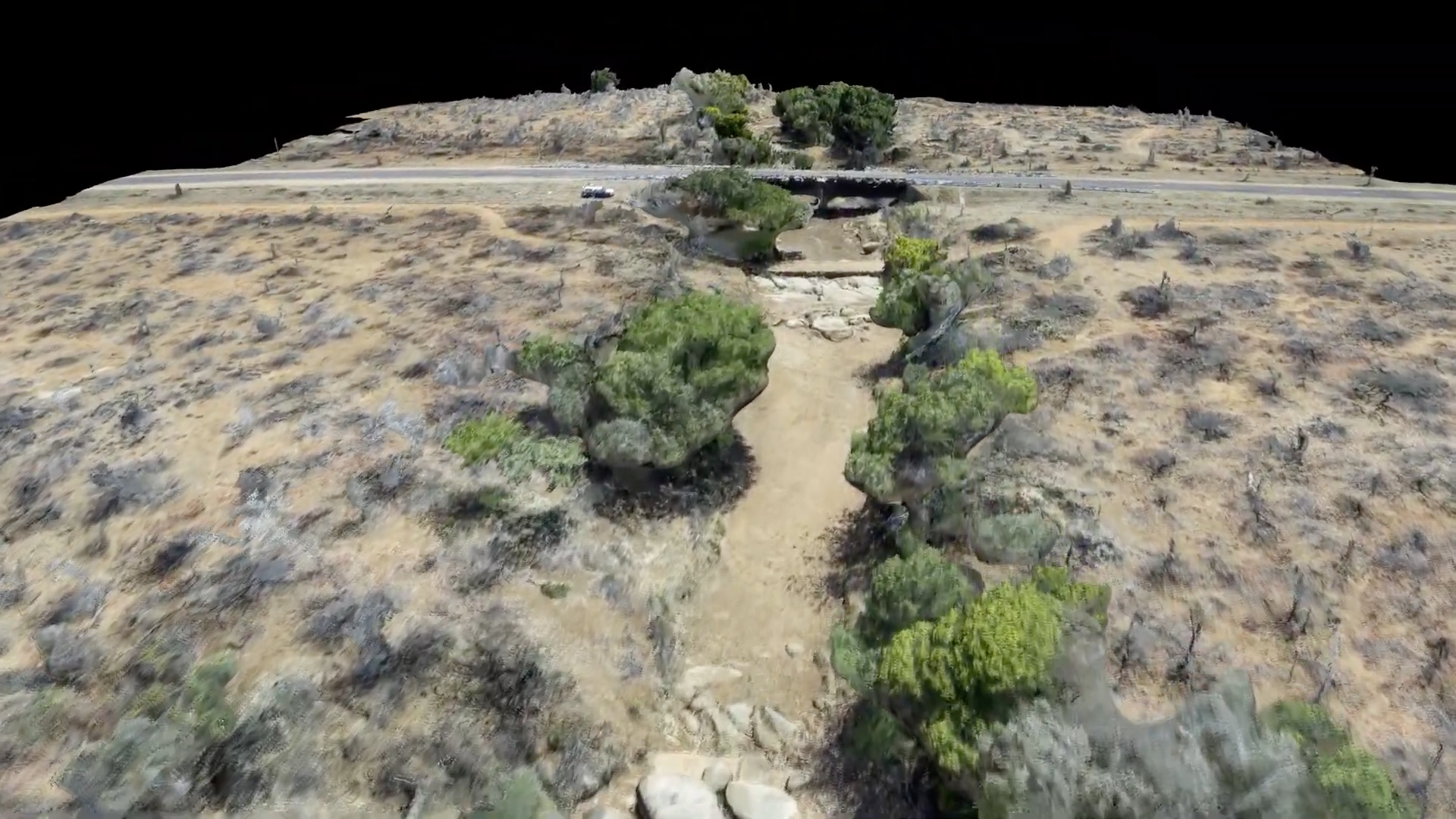
With the semi-autonomous flight modes, users can create high-quality aerial images, which can be processed into high-resolution aerial mosaics and high-precision 3D terrain and surface models. In combination with a RTK-DGPS device, the models can achieve accuracies of 3 cm in position and < 9 cm in height. This means that the models can also be used for hydraulic modelling.
We also added the Micasense RedEdge MX multispectral sensor to the drone; this enables aerial images in five wavelengths of visible light (red, green, blue) and of light invisible to the human eye (infrared, red edge). Post-processing allows the calculation of common vegetation or algae indices (e.g. NDVI, SABI).
A device with a sampling unit was developed for the multicopter. This enables sampling from a body of water.
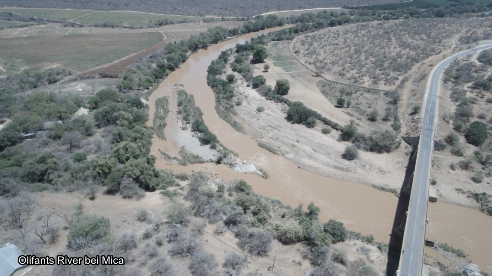
Since no terrain and surface models below the water surface can be calculated from aerial photos, we developed an attachment for the lightweight and compact sonar sensor Deeper Smart Sonar Pro +. The sensor hangs from the multicopter and can be lowered onto the water. This enables data to be collected in flowing and standing waters. Bathymetric maps and river cross-sections can be generated from this data. The combination of the bathymetric data with the mentioned terrain and surface models is also possible.
The innovation consists in the combination of the individual technical devices and sensors into an inexpensive yet professional multiparameter drone and its use for high-precision data collection in the investigation of water bodies.