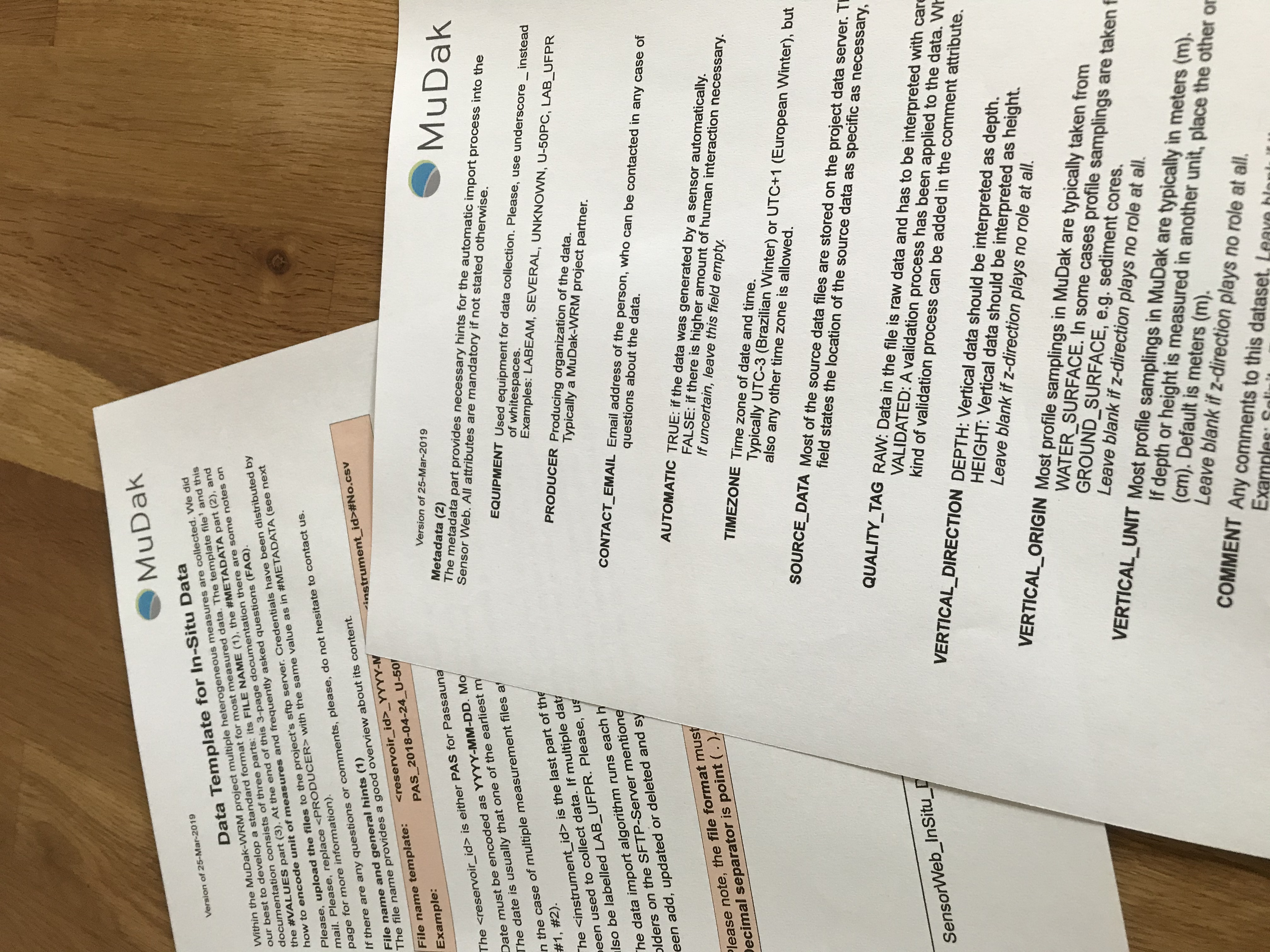
The CSV template allows heterogeneous, water management measurement data and their metadata to be brought into a uniform structure. This enables the creation of a standardised database and simplifies the further processing and analysis of the data.
Measurement programs in research projects or routine operations often involve several sources of data. The measurement data are collected with specialised equipment and are then available in heterogeneous files.
Often, not only the structure of the measurement data and its metadata, but also the naming of the measurement parameters and units, the decimal separation and the geographical and temporal reference systems are different. The aim is to bring all data of the measurement program into a structure that is as uniform as possible in order to standardise access and analysis of the information.
For this purpose, the Open Geospatial Consortium proposes standard models that either require a high level of training or cannot cover the complexity of water management data.
This CSV template specifies the structure for water management data and their metadata. It is not only possible to structure one-dimensional data, but also to map depth and height profiles, as well as measurement trajectories with the associated, essential metadata.
In the MuDak-WRM joint project, the collected measurement and model result data were successfully merged using this template and then stored in a relational database. This made manual or automatic further processing possible.


