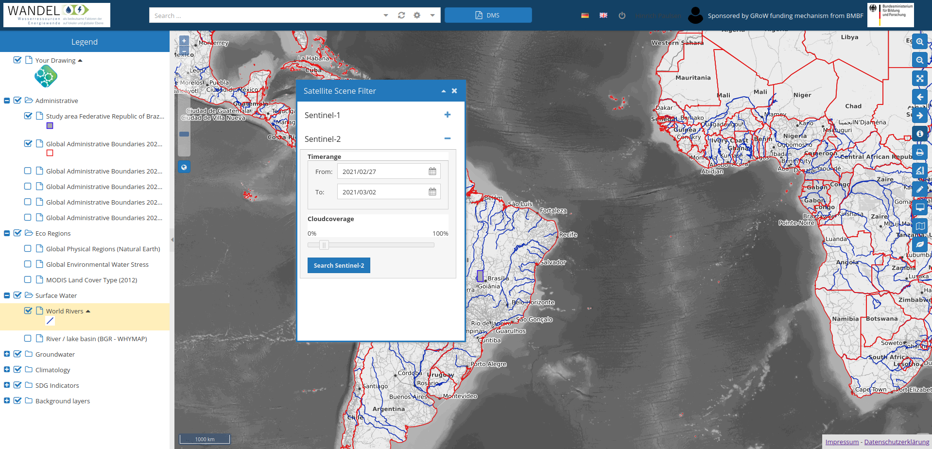
Spatial data, e.g. land use, soil moisture, precipitation, solar radiation and temperature, are essential to addressing many issues. WEOMerge enables the easy digital access and multi-purpose analysis of this data.
Most information systems with spatial reference are limited to the management of geodata and visualisation in interactive maps. In addition, there are various systems that allow access to the free satellite data of the European Commission and other providers, but the user is left to their own devices when it comes to analysing the data.
The geoportal WEOMerge from mundialis is equipped with integrated satellite image processing and combines the best of both worlds: modern geodata management based on the internationally recognised standards of the Open Geospatial Consortium and the downloading of current satellite images and their analysis based on scientifically recognised algorithms. Central data storage and geoprocessing in the cloud enable rapid, decentralised work.
The joint project WANDEL, funded by the German Federal Ministry of Education and Research over a period of 3 years, simplified geodata management and satellite image analysis, making them suitable for practical use. Tried and tested free and open source software components were used to create a customised solution.
The WEOMerge geoportal is accessible here: wandel.mundialis.de


