The WSP tool is a new type of decision support system for increasing and guaranteeing the safety and security of supply for drinking water. It is based on the concept of the Water Safety Plan (WSP), which is recommended by the WHO in order to be able to safely achieve the strategic development goals for clean drinking water.
The WSP tool is a specialised application that enables risk analysis for the drinking water supply. It supports the targeted management of water resources and provides a basis for the development of monitoring systems and other measures to ensure water quality. The focus of the development was the water catchment; however, additional steps in water supply can also be assessed, e.g. from extraction to distribution.
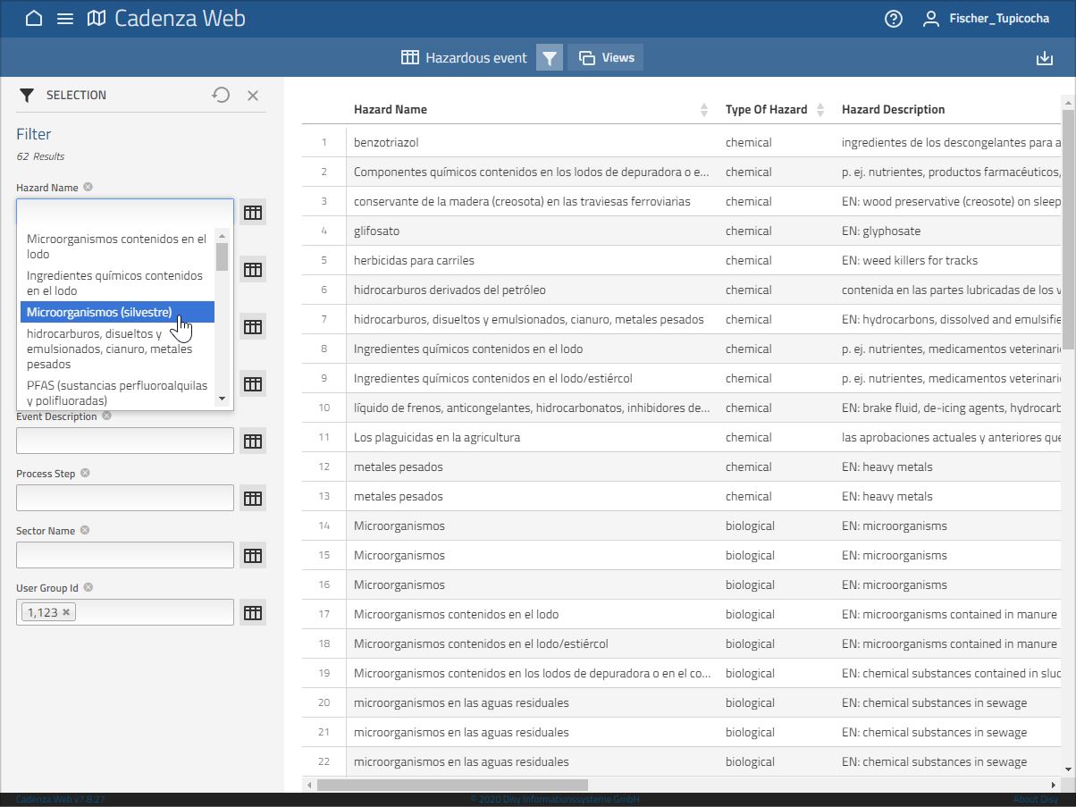
The interactive application enables the recording and evaluation of risks in the water catchment and the documentation of measures for risk control. By keeping all data in a database, no redundant entries are required for risk assessment. This enables uniform documentation and minimises the effort involved in maintaining the WSP.
The addition of the spatial component via the integrated GIS, which is indispensable for targeted water catchment risk management, represents a major added value compared to existing tools for creating a water safety plan. In addition to information on land use, data on area characteristics such as slope and soil type as well as the distance to the extraction point can be included in the assessment.
The WSP-Tool is now also available (e.g. für water industry) under https://riskplus.info/ .


