Water Safety Plan tool for risk management in drinking water supplies

#Water Safety Plan #Software-Tool #risk-analysis #GIS #drinking water supply
The illustration shows a map section of the project area. An OpenStreetMap WMS layer is shown in the background. Colour-coded areas on top of that represent the initial risk. On the left there is a legend of the colours of the initial risk in five classes – very low (blue) to very high (red) – and the OpenStreetMap map.

The WSP tool is a new type of decision support system for increasing and guaranteeing the safety and security of supply for drinking water. It is based on the concept of the Water Safety Plan (WSP), which is recommended by the WHO in order to be able to safely achieve the strategic development goals for clean drinking water.

The WSP tool is a specialised application that enables risk analysis for the drinking water supply. It supports the targeted management of water resources and provides a basis for the development of monitoring systems and other measures to ensure water quality. The focus of the development was the water catchment; however, additional steps in water supply can also be assessed, e.g. from extraction to distribution.

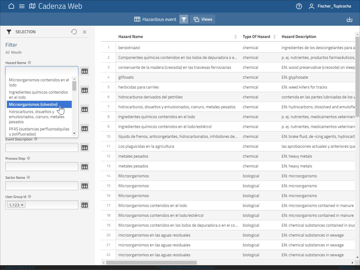
The interactive application enables the recording and evaluation of risks in the water catchment and the documentation of measures for risk control. By keeping all data in a database, no redundant entries are required for risk assessment. This enables uniform documentation and minimises the effort involved in maintaining the WSP.

The addition of the spatial component via the integrated GIS, which is indispensable for targeted water catchment risk management, represents a major added value compared to existing tools for creating a water safety plan. In addition to information on land use, data on area characteristics such as slope and soil type as well as the distance to the extraction point can be included in the assessment.

Water resource: Drinking water, Groundwater, Surface water
Type of product:
  • Modelling & software tools
TRL: 6-7
    TRL (Technology Readiness Level)
  • TRL 1 - Basic principles observed
  • TRL 2 - Technology concept formulated
  • TRL 3 - Experimental proof of concept
  • TRL 4 - Technology validated in lab
  • TRL 5 - Technology validated in relevant environment (industrially relevant environment in the case of key enabling technologies)
  • TRL 6 - Technology demonstrated in relevant environment (industrially relevant environment in the case of key enabling technologies)
  • TRL 7 - System prototype demonstration in operational environment
  • TRL 8 - System complete and qualified
  • TRL 9 - Actual system proven in operational environment (competitive manufacturing in the case of key enabling technologies; or in space)
Application sector: Water resource management
Funding measure: GRoW
Project: TRUST

Contact and partners


Logo TZW - DVGW-Technologiezentrum Wasser
  • TZW - DVGW-Technologiezentrum Wasser,
  • Karlsruher Str. 84,
  • 76139 Karlsruhe
https://tzw.de/en/
Dipl.-Geoökol. Sebastian Sturm

TZW - DVGW-Technologiezentrum Wasser,
Karlsruhe
Disy Informationssysteme GmbH,
Karlsruhe

Media library


This site uses third-party website tracking technologies to provide its services. I agree to this and can revoke or change my consent at any time with effect for the future.

Settings Decline AcceptLegal NoticePrivacy Policy