KIMoDIs is an AI-based monitoring, data management, and information system designed to predict groundwater levels. It integrates relevant data sources, visualizes climate and land-use scenarios, and supports the early identification of critical groundwater conditions.
Groundwater is a key resource for public water supply. Due to climate change, increasing water demand, and regional conflicts over water use, many groundwater resources are becoming increasingly strained. The prototype developed in the project demonstrates how AI-based predictions, integrated monitoring data, and interactive visualizations can contribute to the early detection and assessment of such developments in the future.
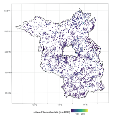
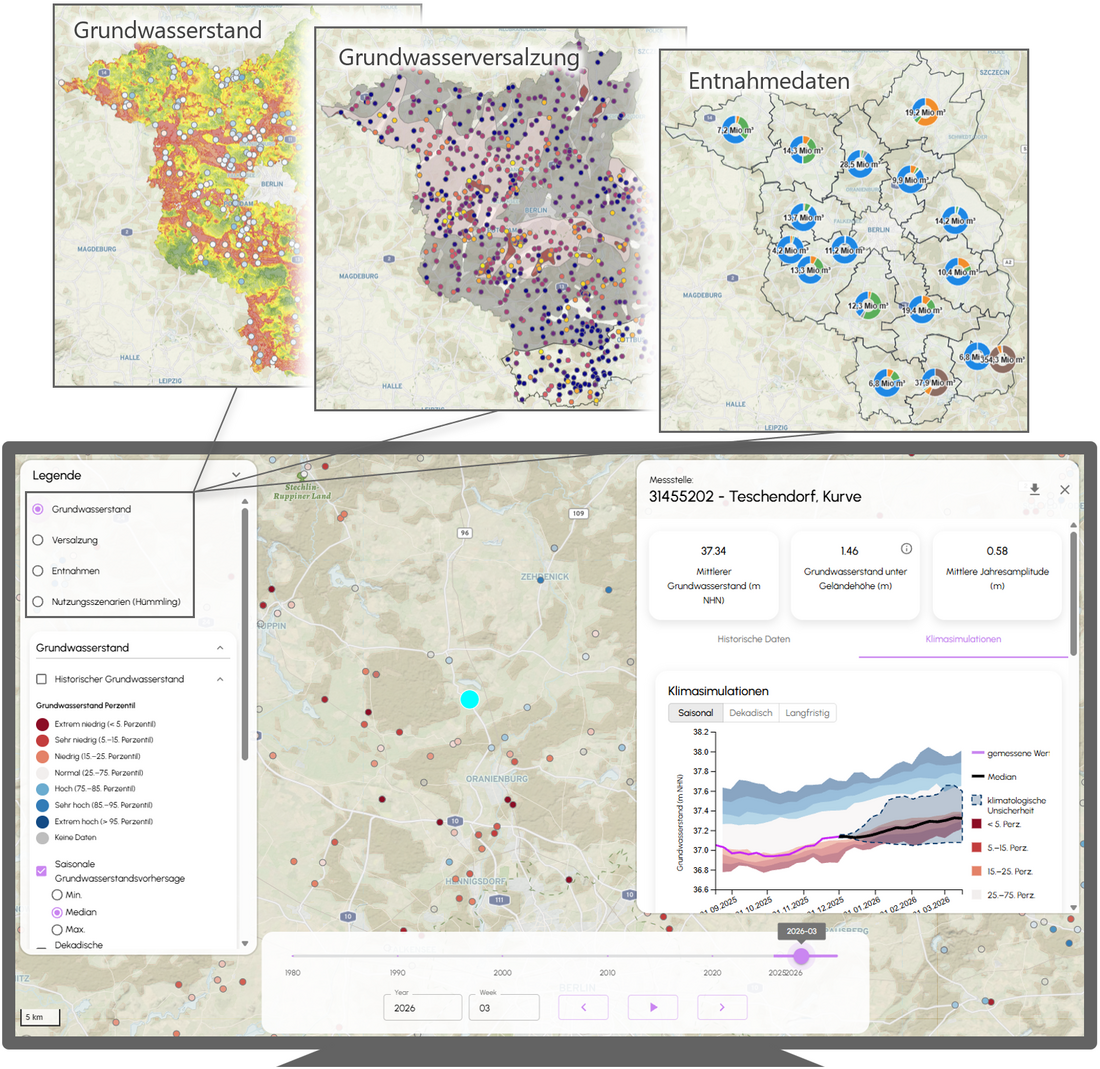
Using the state of Brandenburg as an example, the prototype system combines data management, AI-based forecasts, and interactive visualization. To this end, heterogeneous groundwater data is systematically processed, harmonized, and made usable for AI-based models. A central component consists of groundwater level forecasts across various time horizons. Seasonal forecasts show the expected development over the coming 16 weeks and are provided for approximately 600 monitoring stations. They are based on ensemble climate forecasts from the German Weather Service and thus depict a range of possible scenarios. An integrated early warning function also flags unusually low groundwater levels and makes potential low-water events spatially visible. In addition, KIMoDIs provides medium- and long-term projections. These show how average groundwater levels may change in the coming years until the end of the century under various climate scenarios.
In addition to the regional analysis for Brandenburg, the prototype also demonstrates how local issues can be integrated into the system. By linking climate and utilization scenarios, it is possible to illustrate, for example, the impact of changes in water withdrawals on future groundwater level trends.
The innovative nature of KIMoDIs stems from the combination of AI-based forecasts, an integrated database, an early warning function, and user-friendly visualization. The prototype demonstrates how such a system can be practically implemented for groundwater management, thereby establishing a foundation for the transparent assessment of current and future groundwater conditions. Application to other regions is generally possible, provided that sufficiently consistent and long-term data is available.